The Importance Of Geomatics In Civil Engineering

Have you ever considered pursuing a career in Geomatics Engineering? As the world becomes increasingly focused on data, the importance of geospatial information systems has never been greater. Geomatics engineering is a field that intersects both traditional surveying and modern technologies, making it an exciting and constantly evolving field to be a part of.
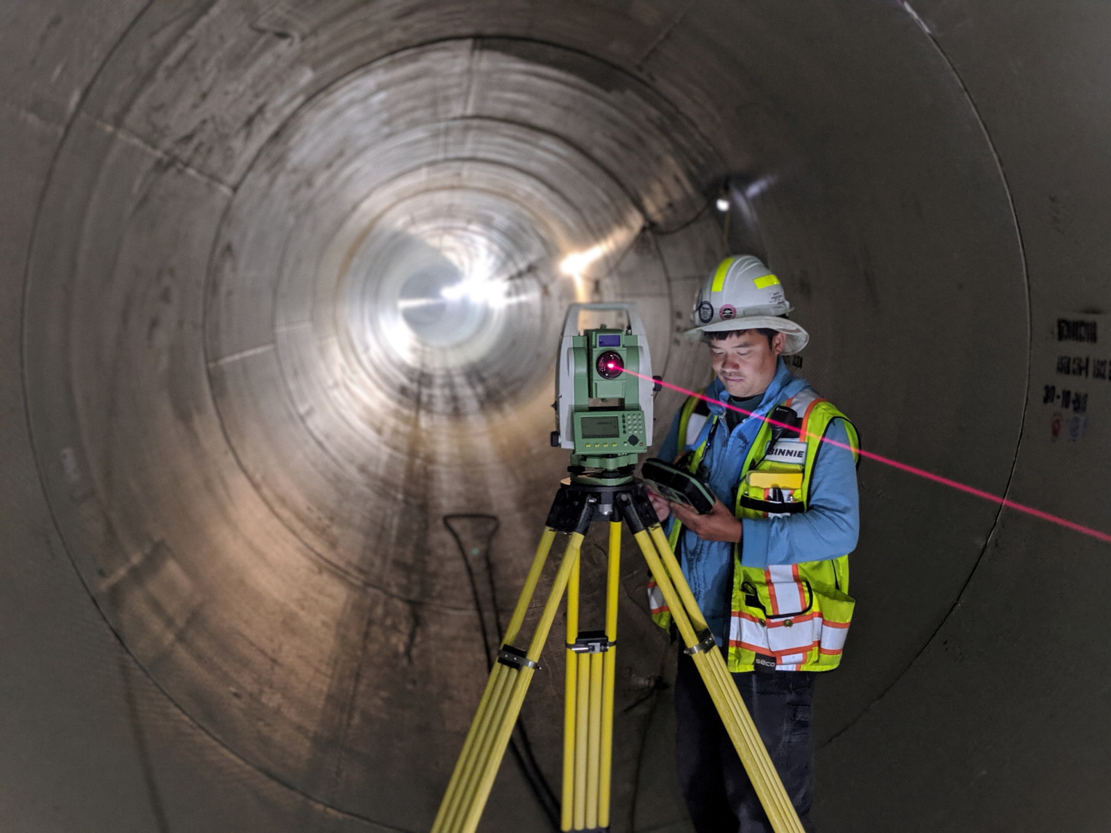
To begin with, Geomatics Engineering is a branch of engineering that addresses the acquisition, analysis, interpretation, and management of spatial information. This information can be acquired through a variety of different methods, including Global Navigation Satellite Systems (GNSS), aerial and satellite imagery, and terrestrial and mobile laser scanning.
When analyzing this data, Geomatics Engineers use specialized software and tools to create three-dimensional maps, determine accurate distance measurements, and extract other valuable information from the data. This data is useful in a wide variety of industries, including urban planning, environmental management, and resource exploration.
If you're interested in pursuing a career in Geomatics Engineering, there are a few things that you should know. First and foremost, a strong foundation in math and science is essential. As with most engineering fields, a strong grasp of calculus, physics, and other related subjects is required. Additionally, knowledge of computer science and programming can be advantageous, as many of the software tools used in the industry require understanding of programming languages like Python and Java.
There are also a variety of degree programs available for aspiring Geomatics Engineers. These programs can range from undergraduate degrees in Geomatics Engineering or Geospatial Information Systems (GIS), to more specialized graduate degrees focused on topics like remote sensing or geodesy. When selecting a program, it's important to consider your career goals and the specific industry you hope to work in.
FAQs
Q: What is Geomatics Engineering?
A: Geomatics Engineering is a branch of engineering that addresses the acquisition, analysis, interpretation, and management of spatial information.
Q: What industries use Geomatics Engineering?
A: Geomatics Engineering is useful in a variety of industries, including urban planning, environmental management, and resource exploration.
Q: What type of degree do I need to pursue a career in Geomatics Engineering?
A: There are a variety of undergraduate and graduate degrees available in Geomatics Engineering and related fields. When selecting a degree program, it's important to consider your career goals and the specific industry you hope to work in.
Q: What skills are necessary for a career in Geomatics Engineering?
A: Along with a strong foundation in math and science, Geomatics Engineers should have knowledge of computer science and programming, as well as strong analytical and problem-solving skills.
Q: What software tools are used in Geomatics Engineering?
A: Some of the software tools used in Geomatics Engineering include GIS software like ArcGIS and QGIS, remote sensing software like ENVI and ERDAS Imagine, and programming languages like Python and Java.
Q: What is the outlook for jobs in Geomatics Engineering?
A: The Bureau of Labor Statistics reports that jobs in surveying and mapping, which includes Geomatics Engineering, are projected to grow by 6% from 2019 to 2029. This growth is attributed to an increasing need for data in a variety of industries.
Overall, Geomatics Engineering is an exciting and constantly evolving field that offers a variety of career paths and opportunities. Whether you're interested in urban planning, environmental management, or resource exploration, a career in Geomatics Engineering can offer an interesting and fulfilling way to put your mathematical and analytical skills to use.
If you have any further questions about pursuing a career in Geomatics Engineering, don't hesitate to reach out. We're always happy to help!
Post a Comment for "The Importance Of Geomatics In Civil Engineering"