The Future Of Geospatial Technologies In Civil Engineering
The world is changing rapidly with the continuous advancement in technology. This change has not left the geospatial industry behind. Geospatial technology applications are more in demand today than ever, and they offer immense benefits to users in various fields. This article explores the present and future of geospatial technology applications.
The Present of Geospatial Technology
Geospatial technology is the technology that deals with anything and everything related to location. It includes GIS (Geographic Information System), GPS (Global Positioning System), and Remote Sensing. Geospatial technology is widely used in various fields, including agriculture, urban planning, environmental monitoring, and defense.
One of the primary applications of geospatial technology is in the logistics industry. With the help of geospatial technology, logistics companies can optimize their routes, track shipments in real-time, and reduce transportation costs. The technology also helps in improving fleet management and enhancing customer service.
Another significant application of geospatial technology is in the field of natural resource management. The technology assists policymakers in making informed decisions on how to manage natural resources effectively. It also helps in monitoring climate change effects and in developing strategies to mitigate its impact.
Geospatial technology is also widely used in the field of agriculture. Farmers use the technology to monitor their crops and soil conditions, weather patterns, and water resources. This information helps farmers in making informed decisions that improve crop yield and quality while minimizing water usage and wastage.
Overall, geospatial technology applications are revolutionizing the way businesses operate and how we manage our resources.
The Future of Geospatial Technology
The future of geospatial technology is bright. With the continuous advancement in technology, geospatial applications will become more widespread and accessible to many more people. Some of the future applications of geospatial technology include:
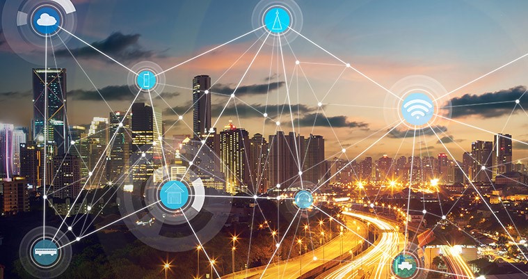
Smart Cities
Geospatial technology will play a significant role in the development of smart cities. The technology will help in managing urban infrastructure, optimizing transportation networks, and enhancing public safety. With the ever-increasing population in urban areas, geospatial technology will play a crucial role in ensuring sustainable development.
Disaster Preparedness
Geospatial technology will also become more essential in disaster preparedness and response. With the ability to monitor weather patterns, track natural disasters, and assess the damage caused, geospatial technology will allow first responders to act quickly and effectively.
Healthcare
In the future, geospatial technology will find more applications in healthcare. The technology will help in tracking disease outbreaks, monitoring the spread of infectious diseases, and developing effective treatment strategies. This will lead to improved healthcare outcomes and better overall population health.
Frequently Asked Questions
What is Geospatial Technology?
Geospatial technology is the technology that deals with anything and everything related to location. It includes GIS (Geographic Information System), GPS (Global Positioning System), and Remote Sensing.
What are the Applications of Geospatial Technology?
Geospatial technology is used in numerous fields, including logistics, natural resource management, agriculture, urban planning, and defense.
What is the Future of Geospatial Technology?
The future of geospatial technology is bright. It will find more applications in smart cities, disaster preparedness, and healthcare, among other fields.
How will Geospatial Technology Help in Disaster Preparedness and Response?
Geospatial technology will help in monitoring weather patterns, tracking natural disasters, and assessing damage caused in real-time. This will allow first responders to act quickly and effectively.
What are the Benefits of Geospatial Technology?
Geospatial technology offers numerous benefits, including cost savings, improved resource management, better decision-making, and enhanced customer service, among others.
Can Geospatial Technology be Used in Agriculture?
Yes, geospatial technology is widely used in agriculture. Farmers use the technology to monitor crops and soil conditions, weather patterns, and water resources.
Conclusion
In conclusion, geospatial technology applications have numerous benefits, and they continue to find more widespread applications. With the continuous advancement in technology, geospatial technology will become even more accessible to many more people and will revolutionize the way we live and work. As such, it is essential to stay up to date with developments in this field and explore ways to utilize its immense potential.

Post a Comment for "The Future Of Geospatial Technologies In Civil Engineering"