The Dynamics Of Geospatial Analysis In Civil Engineering

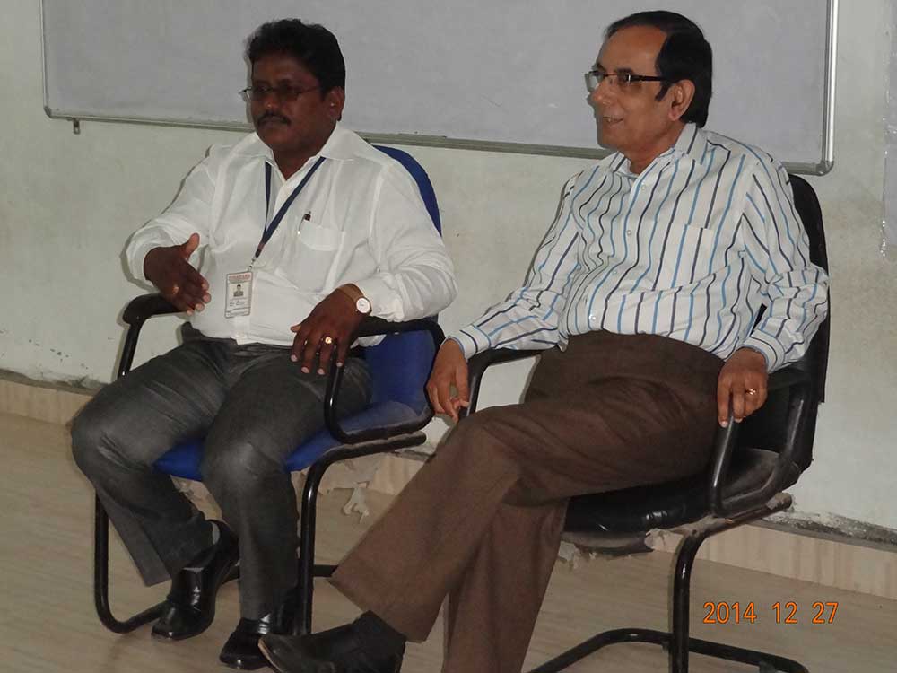
Are you curious about Geospatial Analysis? Do you want to learn more about it? If so, you are in luck! A two-day training program on Geospatial Analysis has been organized by usharama.edu.in at URCE. The program is intended to provide interested individuals with more knowledge about Geospatial Analysis and its applications.
Introduction
Geospatial Analysis is the process of applying statistical analysis and other techniques to data that has a geographical or spatial component. It is used to study, analyze, and solve problems in various fields such as business, public health, environmental sciences, and urban planning.
One of the important uses of Geospatial Analysis is in creating visual representations of data to help understand the patterns and relationships between them. These visualizations may be in the form of maps, charts or graphs, which help in identifying trends that might not be evident in non-spatial data sets.
FAQ
What is the goal of Geospatial Analysis?
The goal of Geospatial Analysis is to extract meaningful insights from geographically referenced data, which can then be used to make informed decisions. It helps to identify patterns and relationships between different variables that may be hidden in plain sight.
What kind of data is used in Geospatial Analysis?
Geospatial Analysis can be done with a variety of data, including satellite imagery, GPS data, and digital maps. The data can come from various sources such as government agencies, private companies or by collecting the data yourself through fieldwork.
What programming languages are used in Geospatial Analysis?
There are a number of programming languages that are used for Geospatial Analysis, including Python, R, and JavaScript. Knowledge of at least one of these languages is highly recommended for those interested in pursuing a career in Geospatial Analysis.
What are the applications of Geospatial Analysis?
Geospatial Analysis has a wide range of applications. It is used to study disease outbreaks, track the movement of wildlife, monitor changes in land use and development, optimize supply chains, and many other fields. It is an incredibly versatile tool that can be applied to many different problem areas.
What is the job outlook for Geospatial Analysts?
The job outlook for Geospatial Analysts is quite positive. According to the Bureau of Labor Statistics, the employment of Geospatial Analysts is projected to grow 5 percent from 2019 to 2029, which is faster than the average for all occupations.
Conclusion
If you are interested in learning more about Geospatial Analysis and its applications, attending a training program like the one offered by usharama.edu.in may be a great place to start. It is an opportunity to network with other professionals in the field, gain hands-on experience, and learn from experts in the field.
Geospatial Analysis is a growing field that has a lot of potential for those interested in data analysis and visualization. With the right training and skills, a career in Geospatial Analysis can be both challenging and fulfilling.
So why not take the time to explore this fascinating field? Who knows, it may just be the perfect fit for you!


Post a Comment for "The Dynamics Of Geospatial Analysis In Civil Engineering"